


When Sergei Korolev was designing the first satellite back in the 1950s, he was likely primarily thinking of the political and military implications of the device. At the same time, his native Ukrainian landscapes, as the rest of the world, were undergoing agricultural tech transformations that seemed far, far away from the world of spacecrafts. But over time, the two worlds collided to produce what is now an almost indispensable part of modern agriculture. GPS is now a staple of sustainable farming, with multiple functions and benefits. Let’s look at them in some detail.
Understanding GPS technology and its role in agriculture
GPS, which is short for the Global Positioning System, is a navigation framework that relies on a fleet of orbiting satellites whose signals are then received by devices on Earth to calculate their location:
- One satellite’s signal provides the direct distance to it, which, on our planet, is essentially a circle;
- Then a second satellite’s “circle” of possible locations narrows the choice down to two intersections;
- The third one helps choose between the two,
- and the fourth is used for precision (time offsets).
Naturally, GPS receivers, mounted on tractors and other equipment, are a great substitute for the centuries-old alternative of mounting a horse and going to check on a patch of land or a herd of livestock yourself. Enhanced with Real-Time Kinematic correction (RTK), these systems can achieve centimeter-level accuracy, and that’s where some serious magic starts.
Since at this level, GPS data can be applied to relatively small things like rows of plants or individual tractors or equipment pieces, this opens the door for precision agriculture and automation possibilities.
As of 2023, around 52% of midsize farms in the US already used GPS systems for autosteering. With larger farms, this number was at 70%, and they also employed yield mapping and GPS-based soil mapping.
And this is where precision agriculture applications enter the scene.
Enhancing Precision Agriculture: Exploring the Potential of GPS Operations in Farming
Precision agriculture, as the practice of applying what effort or resource is needed only where it is needed, is an efficient way of balancing business efficiency with sustainability. For example, precision farming methods, including those based on GPS, account for up to 15% reductions in fertilizer and pesticide costs.
The global precision farming market was valued at around USD 11.7 billion in 2024 and is projected to nearly double by 2030, so GPS use methods evolving alongside it are diversifying, as well.
There are several main directions of where GPS technology is applied in precision agriculture and farming in general, from VRA to farming equipment and inventory management, so it makes sense to look at them a bit closer.
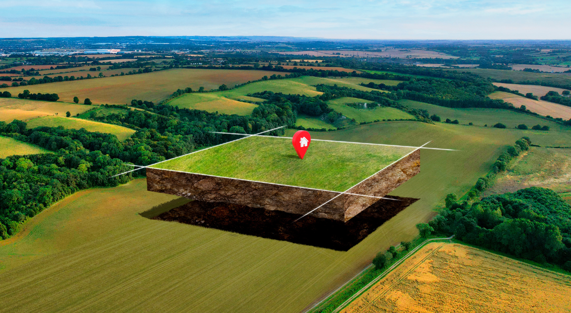
GPS for Land Surveying and Field Mapping: Agricultural and Farming Solutions
The most basic and practical use of GPS in agriculture is, naturally, field mapping. Farmers use tractors, ATVs, or drones with GPS receivers to get georeferenced maps that can include various data:
- soil variability
- nutrient zones
- elevations and drainage patterns
- crop health and yield potential
These data can then be used to optimize resource use and reduce operational costs.
Enhanced Precision Agriculture with Planting and Variable Rate Application (VRA) Using GPS Technology
At the modern 2-3 cm level of precision, GPS enables VRA and precision planting practices to thrive. GPS-guided planters use auto-steering and field maps to place seeds optimally. This allows farmers to spend, on average, 10% less on seeds by virtue of eliminating double-planting and improving row alignment.
A similar logic works with VRA, where GPS maps integrate with IoT sensors to apply fertilizers or water at variable rates depending on what patch of soil they’re going through.
GPS Systems and Irrigation in Agriculture: Benefits and Technologies for Modern Farming
This is where GPS-obtained drainage maps come in handy: knowing the low-lying areas, slope directions, and water flow patterns, you can apply water sparingly with maximum effect with minimum runoff.
Plus, GPS can be used for variable rate irrigation (VRI), which is important for some crops and terrains. For instance, a wheat farm in Australia used VRI to obtain a 25% decrease in water usage and a 30% increase in crop quality. Which also demonstrates that since there’s less stress due to drought (or waterlogging in low areas) the crop health is improved, too.
Enhancing Machinery Tracking and Auto-Steering with GPS Technology
Tractors, sprayers, and combines equipped with GPS receivers and RTK correction can drive along optimized routes, thus enabling over 10% fuel savings. The overlap, which the likes of ancient Sumerians had to avoid by literally hiring people to supervise fields along perpendicular lines, can now be eliminated automatically, even at night.
Strategies for Effective Yield Mapping Using GPS Technology
Yield mapping is one of the most data-driven applications of GPS in agriculture, helping visualize exactly how different parts of a field perform. During harvest, combined with GPS and yield sensors record the grain glow and moisture content and map the data to locations. The same can be done with drones. In this way, data is harvested alongside the produce, helping with decision making for the next season.
Enhanced Livestock Tracking with GPS Technology for Agriculture
While GPS in precision agriculture is often associated with crops, it also plays a crucial role in livestock management, enhancing efficiency, animal welfare, and pasture utilization. GPS collars or ear tags allow farmers to locate animals at any moment, preventing losses from straying or theft. At the same time, integrated sensors can track grazing patterns, rest periods, and activity levels, providing early indicators of health issues or stress.
Types of GPS Software Solutions for Farmers: Enhancing Agricultural Productivity and Land Management
Since the practical applications of GPS are so wide, and the terrains and farms themselves differ a lot, there are multiple software products using the technology – ranging from super affordable apps to comprehensive enterprise systems.
For things like field mapping, soil data gathering, and planning crop rotations, Trimble Ag Software and John Deere are a good choice, with pricing options ranging from freemium to approximately 10-30 dollars per month for small farms.
High precision input and irrigation systems like Climate FieldView or Trimble Field-IQ charge from $1K-2.5K for annual subscription but also allow to cut input use by 10-20%, which is especially profitable for large farms or some specific resource-reliant crops.
There are also specialized systems for auto-steering (Ag Leader, Topcorn) and GPS tracking of liveestock (Gallagher, Moovement).
However, in practice, farms often have unusual layouts, mixed farming operations, or need integrations with external systems (ERP and such), which calls for custom solutions. The good news is that with a lot of GPS-related software parts being available in ready-to-use modules, specialized companies can develop and deliver such software faster than, say, 5 years ago.
Conclusions: The Future of GPS Technology in Agriculture and Its Impact on Farming
So what does the future hold for agricultural GPS?
- The benefits of GPS-guided precision agriculture outweigh the costs already, so their wider adoption is largely a matter of hardware affordability – and hardware prices are generally decreasing and likely will go on like that – meaning we’re likely to see more small-scale farms adopting the methods.
- Companies like John Deere and AGCO are said to be already deploying autonomous prototypes that combine GPS with LiDAR and machine vision, so by the 2030s, it is likely that full-field autonomous operations with multi-machine coordination will become mainstream, too.
- Plus, with the rising computational power and AI proliferation, there’s likely to be a shift en masse from static prescription maps to dynamically updated ones that are analyzed by AI in real time.
- Finally, at some point, at least some of these practices might become practically mandatory because of regulations.
In the world of associated software, the usual diversification processes are already happening. With modularization of the key components of GPS-reliant processes, building custom solutions is already more feasible than ever, so the name of the game will likely be not who’s got the fanciest system, but rather whose system matches the actual farms more precisely. We at Lionwood.software are watching this trend unfold now, specializing in highly custom solutions for agriculture – and are ready to assist in creating the perfect solution for your agricultural business, as well. You can contact us for a consultation and project estimation at any time, starting to future-proof the tech side of farming.
FAQ
Evaluating the Accuracy of GPS in Modern Agriculture: Benefits and Technologies
With standard GPS, accuracy is typically around 1–3 meters, which is enough for basic mapping. When enhanced with RTK (Real-Time Kinematic) correction, accuracy can reach 2–3 centimeters, enabling precision planting, variable rate application (VRA), and autonomous machinery operation.
Evaluating Cost Savings: Does Implementing GPS in Farming Truly Save Money?
Yes. Studies show that precision agriculture techniques using GPS can reduce fertilizer and pesticide costs by 10–20% and fuel usage by 10% or more by eliminating overlaps in field operations. A wheat farm in Australia using GPS-enabled variable rate irrigation achieved a 25% drop in water use and a 30% boost in crop quality.
Can GPS be used for livestock management as well as crops?
Absolutely. GPS collars and ear tags allow farmers to track animal location, detect abnormal movement patterns, and monitor grazing efficiency. This not only reduces losses from straying or theft but also improves animal health monitoring by providing early alerts.
How GPS-Powered Solutions Enhance Farming Efficiency: Types and Technologies
Farmers can use:
- Field mapping and soil analysis apps (affordable or freemium for small farms)
- Advanced input and irrigation control systems like Trimble Field-IQ or Climate FieldView (with potential 10–20% input savings)
- Auto-steering and fleet tracking tools for tractors and harvesters
- Custom software solutions for complex or mixed operations requiring ERP or sensor integrations
What is the future of GPS technology in agriculture?
Over the next decade, we can expect autonomous machinery using GPS + AI + LiDAR, dynamic, real-time field prescriptions replacing static maps, and generally a wider adoption among small and mid-size farms as hardware costs decline.